
西湾街道 topographic map
Interactive map
Click on the map to display elevation.
About this map
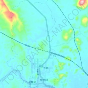
Name: 西湾街道 topographic map, elevation, terrain.
Location: 西湾街道, 平桂区, 贺州市, 广西壮族自治区, 中国 (24.45336 111.45013 24.52931 111.50201)
Average elevation: 156 m
Minimum elevation: 106 m
Maximum elevation: 519 m
Other topographic maps
Click on a map to view its topography, its elevation and its terrain.
岑王老山国家级自然保护区
岑王老山国家级自然保护区, 浪平镇, 田林县, 百色市, 广西壮族自治区, 中国
Average elevation: 1,236 m