
古弄村 topographic map
Interactive map
Click on the map to display elevation.
About this map
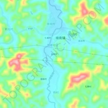
Name: 古弄村 topographic map, elevation, terrain.
Location: 古弄村, 埌南镇, 藤县, 梧州市, 广西壮族自治区, 543000, 中国 (23.23832 111.07328 23.27832 111.11328)
Average elevation: 108 m
Minimum elevation: 52 m
Maximum elevation: 250 m