
渠洋镇 topographic map
Interactive map
Click on the map to display elevation.
About this map
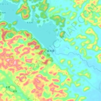
Name: 渠洋镇 topographic map, elevation, terrain.
Location: 渠洋镇, 百色市, 广西壮族自治区, 中国 (23.27176 106.27775 23.35176 106.35775)
Average elevation: 880 m
Minimum elevation: 783 m
Maximum elevation: 1,113 m
Other topographic maps
Click on a map to view its topography, its elevation and its terrain.