
泗孟乡 topographic map
Interactive map
Click on the map to display elevation.
About this map
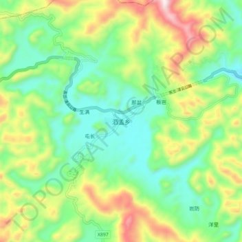
Name: 泗孟乡 topographic map, elevation, terrain.
Location: 泗孟乡, 东兰县, 河池市, 广西壮族自治区, 中国 (24.45574 107.22845 24.53574 107.30845)
Average elevation: 650 m
Minimum elevation: 391 m
Maximum elevation: 1,141 m
Other topographic maps
Click on a map to view its topography, its elevation and its terrain.