
洞井瑶族乡 topographic map
Interactive map
Click on the map to display elevation.
About this map
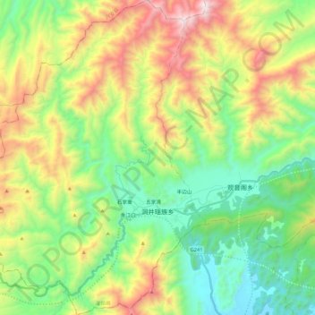
Name: 洞井瑶族乡 topographic map, elevation, terrain.
Location: 洞井瑶族乡, 灌阳县, 桂林市, 广西壮族自治区, 中国 (25.18090 110.72152 25.37489 110.88262)
Average elevation: 742 m
Minimum elevation: 201 m
Maximum elevation: 1,724 m