
思陇镇 topographic map
Interactive map
Click on the map to display elevation.
About this map
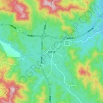
Name: 思陇镇 topographic map, elevation, terrain.
Location: 思陇镇, 南宁市, 广西壮族自治区, 中国 (23.12785 108.60807 23.20785 108.68807)
Average elevation: 334 m
Minimum elevation: 147 m
Maximum elevation: 764 m
Other topographic maps
Click on a map to view its topography, its elevation and its terrain.