
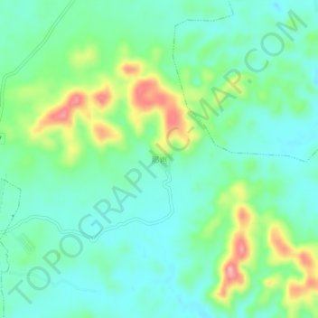
那岜 topographic map
Interactive map
Click on the map to display elevation.
About this map
Name: 那岜 topographic map, elevation, terrain.
Location: 那岜, 南宁市, 广西壮族自治区, 中国 (22.51460 108.18700 22.55460 108.22700)
Average elevation: 149 m
Minimum elevation: 112 m
Maximum elevation: 239 m
Other topographic maps
Click on a map to view its topography, its elevation and its terrain.