
察哈尔右翼后旗 topographic map
Interactive map
Click on the map to display elevation.
About this map
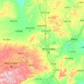
Name: 察哈尔右翼后旗 topographic map, elevation, terrain.
Location: 察哈尔右翼后旗, 乌兰察布市, 内蒙古自治区, 012400, 中国 (41.06623 112.70118 41.98806 113.51208)
Average elevation: 1,542 m
Minimum elevation: 1,292 m
Maximum elevation: 2,167 m
Other topographic maps
Click on a map to view its topography, its elevation and its terrain.