
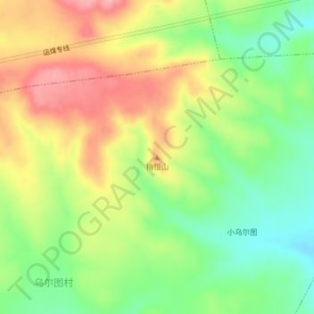
梅恒山 topographic map
Interactive map
Click on the map to display elevation.
About this map
Name: 梅恒山 topographic map, elevation, terrain.
Location: 梅恒山, 乌兰察布市, 内蒙古自治区, 中国 (40.83037 113.08596 40.83047 113.08606)
Average elevation: 1,448 m
Minimum elevation: 1,386 m
Maximum elevation: 1,519 m
Other topographic maps
Click on a map to view its topography, its elevation and its terrain.