
白脑包村 topographic map
Interactive map
Click on the map to display elevation.
About this map
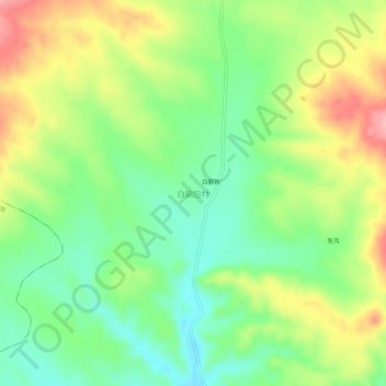
Name: 白脑包村 topographic map, elevation, terrain.
Location: 白脑包村, 乌兰察布市, 内蒙古自治区, 中国 (41.15167 113.61218 41.19167 113.65218)
Average elevation: 1,455 m
Minimum elevation: 1,400 m
Maximum elevation: 1,532 m
Other topographic maps
Click on a map to view its topography, its elevation and its terrain.