
神湾镇 topographic map
Interactive map
Click on the map to display elevation.
About this map
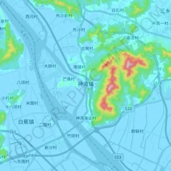
Name: 神湾镇 topographic map, elevation, terrain.
Location: 神湾镇, 中山市, 广东省, 中国 (22.23391 113.30879 22.36594 113.39437)
Average elevation: 30 m
Minimum elevation: -7 m
Maximum elevation: 445 m
Other topographic maps
Click on a map to view its topography, its elevation and its terrain.