
南头镇 topographic map
Interactive map
Click on the map to display elevation.
About this map
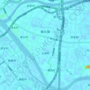
Name: 南头镇 topographic map, elevation, terrain.
Location: 南头镇, 中山市, 广东省, 中国 (22.68302 113.26210 22.74237 113.32157)
Average elevation: 3 m
Minimum elevation: -5 m
Maximum elevation: 68 m
Other topographic maps
Click on a map to view its topography, its elevation and its terrain.