
三角镇 topographic map
Interactive map
Click on the map to display elevation.
About this map
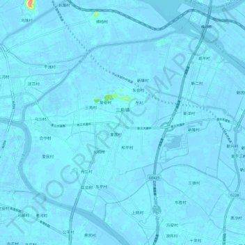
Name: 三角镇 topographic map, elevation, terrain.
Location: 三角镇, 中山市, 广东省, 中国 (22.63364 113.37825 22.72444 113.49665)
Average elevation: 1 m
Minimum elevation: -6 m
Maximum elevation: 77 m
Other topographic maps
Click on a map to view its topography, its elevation and its terrain.