
穗生围 topographic map
Interactive map
Click on the map to display elevation.
About this map
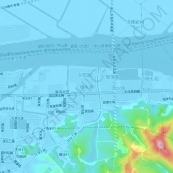
Name: 穗生围 topographic map, elevation, terrain.
Location: 穗生围, 中山市, 广东省, 中国 (22.55075 113.51347 22.59075 113.55347)
Average elevation: 18 m
Minimum elevation: -5 m
Maximum elevation: 247 m
Other topographic maps
Click on a map to view its topography, its elevation and its terrain.