
港口镇 topographic map
Interactive map
Click on the map to display elevation.
About this map
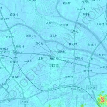
Name: 港口镇 topographic map, elevation, terrain.
Location: 港口镇, 中山市, 广东省, 528447, 中国 (22.55861 113.32933 22.64872 113.46752)
Average elevation: 2 m
Minimum elevation: -6 m
Maximum elevation: 130 m
Other topographic maps
Click on a map to view its topography, its elevation and its terrain.