
古镇镇 topographic map
Interactive map
Click on the map to display elevation.
About this map
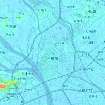
Name: 古镇镇 topographic map, elevation, terrain.
Location: 古镇镇, 中山市, 广东省, 528421, 中国 (22.56600 113.15153 22.68501 113.21920)
Average elevation: 4 m
Minimum elevation: -19 m
Maximum elevation: 151 m
Other topographic maps
Click on a map to view its topography, its elevation and its terrain.