
紫阳县 topographic map
Interactive map
Click on the map to display elevation.
About this map
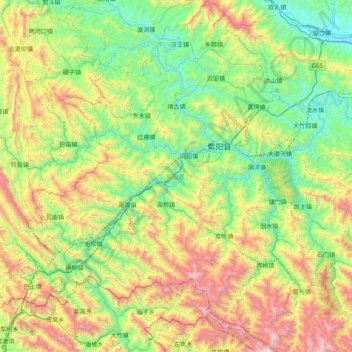
Name: 紫阳县 topographic map, elevation, terrain.
Location: 紫阳县, 安康市, 陕西省, 中国 (32.13171 108.09740 32.80085 108.71165)
Average elevation: 943 m
Minimum elevation: 271 m
Maximum elevation: 2,484 m
Other topographic maps
Click on a map to view its topography, its elevation and its terrain.