
东源县 topographic map
Interactive map
Click on the map to display elevation.
About this map
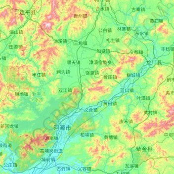
Name: 东源县 topographic map, elevation, terrain.
Location: 东源县, 河源市, 广东省, 中国 (23.67108 114.32199 24.26004 115.35819)
Average elevation: 275 m
Minimum elevation: 23 m
Maximum elevation: 1,318 m
Other topographic maps
Click on a map to view its topography, its elevation and its terrain.