
下青溪 topographic map
Interactive map
Click on the map to display elevation.
About this map
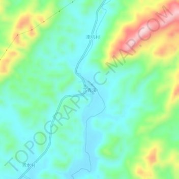
Name: 下青溪 topographic map, elevation, terrain.
Location: 下青溪, 河源市, 广东省, 中国 (23.51521 114.93568 23.55521 114.97568)
Average elevation: 172 m
Minimum elevation: 83 m
Maximum elevation: 390 m
Other topographic maps
Click on a map to view its topography, its elevation and its terrain.