
华南农业大学树木园 topographic map
Interactive map
Click on the map to display elevation.
About this map
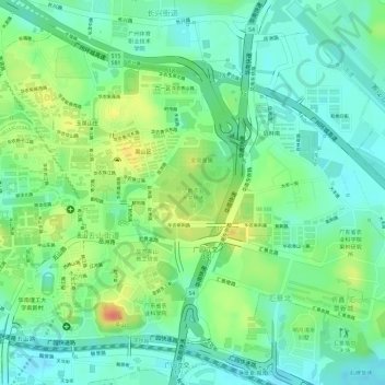
Name: 华南农业大学树木园 topographic map, elevation, terrain.
Location: 华南农业大学树木园, 五山街道, 天河区, 广州市, 广东省, 中国 (23.15586 113.35231 23.16001 113.35798)
Average elevation: 28 m
Minimum elevation: 5 m
Maximum elevation: 66 m
Other topographic maps
Click on a map to view its topography, its elevation and its terrain.