
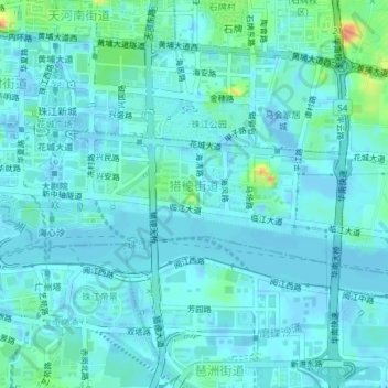
猎德街道 topographic map
Interactive map
Click on the map to display elevation.
About this map
Name: 猎德街道 topographic map, elevation, terrain.
Location: 猎德街道, 天河区, 广州市, 广东省, 510623, 中国 (23.10991 113.30984 23.12262 113.34701)
Average elevation: 7 m
Minimum elevation: -24 m
Maximum elevation: 44 m
Other topographic maps
Click on a map to view its topography, its elevation and its terrain.