
珠江公园 topographic map
Interactive map
Click on the map to display elevation.
About this map
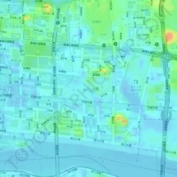
Name: 珠江公园 topographic map, elevation, terrain.
Location: 珠江公园, 冼村街道, 天河区, 广州市, 广东省, 中国 (23.12067 113.32956 23.12464 113.33779)
Average elevation: 8 m
Minimum elevation: -24 m
Maximum elevation: 44 m
Other topographic maps
Click on a map to view its topography, its elevation and its terrain.