
龙洞街道 topographic map
Interactive map
Click on the map to display elevation.
About this map
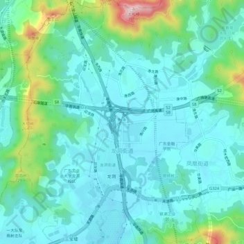
Name: 龙洞街道 topographic map, elevation, terrain.
Location: 龙洞街道, 天河区, 广州市, 广东省, 中国 (23.18482 113.34277 23.23265 113.38159)
Average elevation: 87 m
Minimum elevation: 17 m
Maximum elevation: 367 m