
花城广场 topographic map
Interactive map
Click on the map to display elevation.
About this map
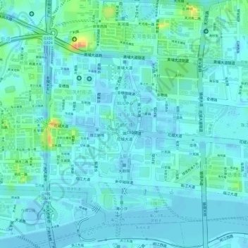
Name: 花城广场 topographic map, elevation, terrain.
Location: 花城广场, 冼村街道, 天河区, 广州市, 广东省, 中国 (23.11561 113.31761 23.12956 113.32078)
Average elevation: 9 m
Minimum elevation: -6 m
Maximum elevation: 44 m
Other topographic maps
Click on a map to view its topography, its elevation and its terrain.