
火炉山 topographic map
Interactive map
Click on the map to display elevation.
About this map
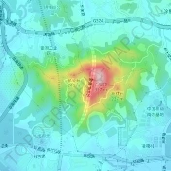
Name: 火炉山 topographic map, elevation, terrain.
Location: 火炉山, 天河区, 广州市, 广东省, 中国 (23.17400 113.36731 23.19339 113.40192)
Average elevation: 65 m
Minimum elevation: 15 m
Maximum elevation: 300 m
Other topographic maps
Click on a map to view its topography, its elevation and its terrain.