
甘溪头 topographic map
Interactive map
Click on the map to display elevation.
About this map
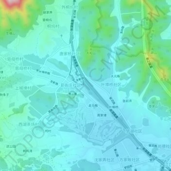
Name: 甘溪头 topographic map, elevation, terrain.
Location: 甘溪头, 转塘街道, 西湖区, 杭州市, 浙江省, 310024, 中国 (30.16258 120.03623 30.20258 120.07623)
Average elevation: 57 m
Minimum elevation: 3 m
Maximum elevation: 375 m
Other topographic maps
Click on a map to view its topography, its elevation and its terrain.