
光明寺水库 topographic map
Interactive map
Click on the map to display elevation.
About this map
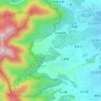
Name: 光明寺水库 topographic map, elevation, terrain.
Location: 光明寺水库, 上城埭, 转塘街道, 西湖区, 杭州市, 浙江省, 中国 (30.17838 120.02459 30.18036 120.02644)
Average elevation: 157 m
Minimum elevation: 37 m
Maximum elevation: 439 m