
三墩镇 topographic map
Interactive map
Click on the map to display elevation.
About this map
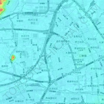
Name: 三墩镇 topographic map, elevation, terrain.
Location: 三墩镇, 西湖区, 杭州市, 浙江省, 中国 (30.29477 120.01301 30.35761 120.09979)
Average elevation: 6 m
Minimum elevation: 2 m
Maximum elevation: 87 m
Other topographic maps
Click on a map to view its topography, its elevation and its terrain.