
南山村 topographic map
Interactive map
Click on the map to display elevation.
About this map
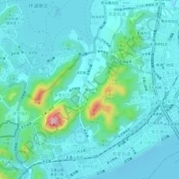
Name: 南山村 topographic map, elevation, terrain.
Location: 南山村, 西湖街道, 西湖区, 杭州市, 浙江省, 310002, 中国 (30.20401 120.12945 30.24401 120.16945)
Average elevation: 34 m
Minimum elevation: -2 m
Maximum elevation: 230 m
Other topographic maps
Click on a map to view its topography, its elevation and its terrain.