
铜鉴湖 topographic map
Interactive map
Click on the map to display elevation.
About this map
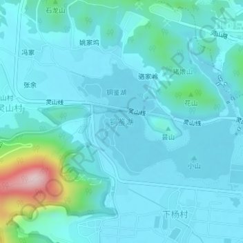
Name: 铜鉴湖 topographic map, elevation, terrain.
Location: 铜鉴湖, 双浦镇, 西湖区, 杭州市, 浙江省, 中国 (30.11718 120.04519 30.13031 120.06568)
Average elevation: 44 m
Minimum elevation: 1 m
Maximum elevation: 330 m
Other topographic maps
Click on a map to view its topography, its elevation and its terrain.