
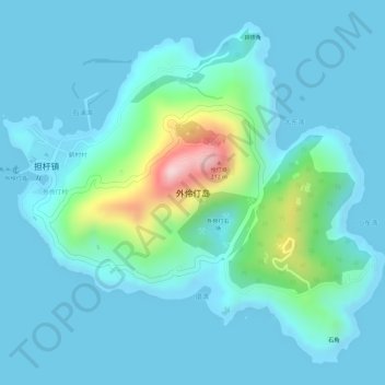
外伶仃岛 topographic map
Interactive map
Click on the map to display elevation.
About this map
Name: 外伶仃岛 topographic map, elevation, terrain.
Location: 外伶仃岛, 香洲区, 珠海市, 广东省, 中国 (22.08906 114.02211 22.11303 114.05107)
Average elevation: 44 m
Minimum elevation: -1 m
Maximum elevation: 289 m
Other topographic maps
Click on a map to view its topography, its elevation and its terrain.