
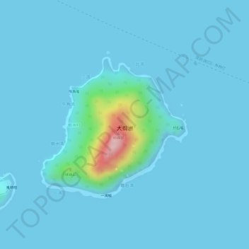
大蜘洲 topographic map
Interactive map
Click on the map to display elevation.
About this map
Name: 大蜘洲 topographic map, elevation, terrain.
Location: 大蜘洲, 珠海万山海洋开发试验区, 香洲区, 珠海市, 广东省, 中国 (22.11287 113.88214 22.12887 113.89940)
Average elevation: 16 m
Minimum elevation: 0 m
Maximum elevation: 229 m
Other topographic maps
Click on a map to view its topography, its elevation and its terrain.