
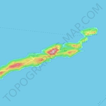
担杆岛 topographic map
Interactive map
Click on the map to display elevation.
About this map
Name: 担杆岛 topographic map, elevation, terrain.
Location: 担杆岛, 香洲区, 珠海市, 广东省, 中国 (22.01940 114.21770 22.06684 114.31927)
Average elevation: 13 m
Minimum elevation: -1 m
Maximum elevation: 304 m
Other topographic maps
Click on a map to view its topography, its elevation and its terrain.