
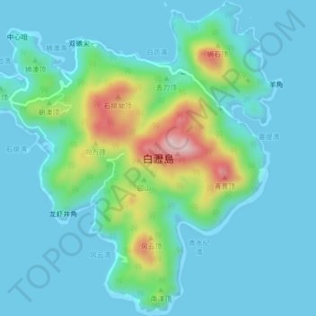
白瀝島 topographic map
Interactive map
Click on the map to display elevation.
About this map
Name: 白瀝島 topographic map, elevation, terrain.
Location: 白瀝島, 香洲区, 珠海市, 广东省, 中国 (21.96540 113.73728 22.00118 113.77495)
Average elevation: 52 m
Minimum elevation: -1 m
Maximum elevation: 285 m
Other topographic maps
Click on a map to view its topography, its elevation and its terrain.