
吉大街道 topographic map
Interactive map
Click on the map to display elevation.
About this map
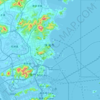
Name: 吉大街道 topographic map, elevation, terrain.
Location: 吉大街道, 香洲区, 珠海市, 广东省, 中国 (22.22918 113.54477 22.28844 113.84786)
Average elevation: 16 m
Minimum elevation: -6 m
Maximum elevation: 411 m