
白云峰 topographic map
Interactive map
Click on the map to display elevation.
About this map
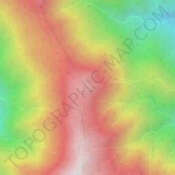
Name: 白云峰 topographic map, elevation, terrain.
Location: 白云峰, 大理市, 大理白族自治州, 云南省, 中国 (25.76653 100.04450 25.76663 100.04460)
Average elevation: 3,449 m
Minimum elevation: 2,859 m
Maximum elevation: 3,878 m
Other topographic maps
Click on a map to view its topography, its elevation and its terrain.