
漏邑村 topographic map
Interactive map
Click on the map to display elevation.
About this map
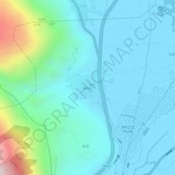
Name: 漏邑村 topographic map, elevation, terrain.
Location: 漏邑村, 上关镇, 大理市, 大理白族自治州, 云南省, 中国 (25.95405 100.08884 25.96201 100.09740)
Average elevation: 2,080 m
Minimum elevation: 1,964 m
Maximum elevation: 2,572 m