
唐家村 topographic map
Interactive map
Click on the map to display elevation.
About this map
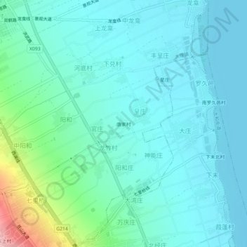
Name: 唐家村 topographic map, elevation, terrain.
Location: 唐家村, 大理镇, 大理市, 大理白族自治州, 云南省, 671000, 中国 (25.65506 100.17310 25.69506 100.21310)
Average elevation: 1,992 m
Minimum elevation: 1,961 m
Maximum elevation: 2,134 m
Other topographic maps
Click on a map to view its topography, its elevation and its terrain.