
砖井镇 topographic map
Interactive map
Click on the map to display elevation.
About this map
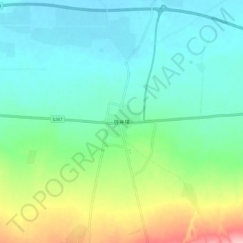
Name: 砖井镇 topographic map, elevation, terrain.
Location: 砖井镇, 榆林市, 陕西省, 中国 (37.47218 107.76000 37.55218 107.84000)
Average elevation: 1,435 m
Minimum elevation: 1,391 m
Maximum elevation: 1,561 m
Other topographic maps
Click on a map to view its topography, its elevation and its terrain.