
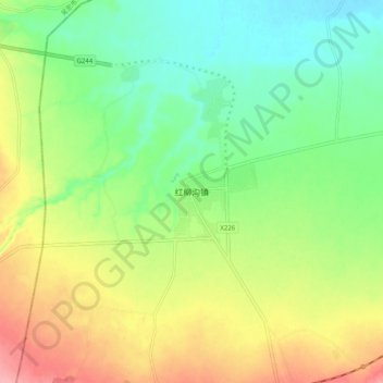
红柳沟镇 topographic map
Interactive map
Click on the map to display elevation.
About this map
Name: 红柳沟镇 topographic map, elevation, terrain.
Location: 红柳沟镇, 榆林市, 陕西省, 中国 (37.40902 107.27585 37.48902 107.35585)
Average elevation: 1,426 m
Minimum elevation: 1,382 m
Maximum elevation: 1,492 m
Other topographic maps
Click on a map to view its topography, its elevation and its terrain.