
天赐湾镇 topographic map
Interactive map
Click on the map to display elevation.
About this map
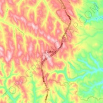
Name: 天赐湾镇 topographic map, elevation, terrain.
Location: 天赐湾镇, 榆林市, 陕西省, 中国 (37.28277 108.88860 37.36277 108.96860)
Average elevation: 1,485 m
Minimum elevation: 1,254 m
Maximum elevation: 1,671 m
Other topographic maps
Click on a map to view its topography, its elevation and its terrain.