
张家湾 topographic map
Interactive map
Click on the map to display elevation.
About this map
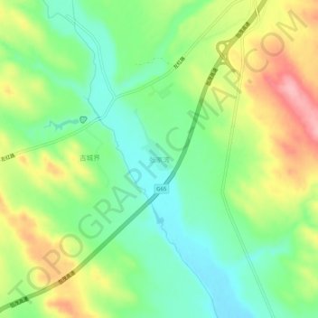
Name: 张家湾 topographic map, elevation, terrain.
Location: 张家湾, 榆林市, 陕西省, 中国 (38.10075 109.31978 38.14075 109.35978)
Average elevation: 1,114 m
Minimum elevation: 1,059 m
Maximum elevation: 1,196 m