
大板桥街道 topographic map
Interactive map
Click on the map to display elevation.
About this map
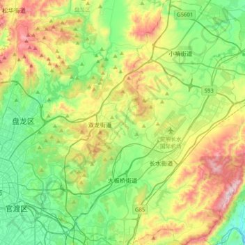
Name: 大板桥街道 topographic map, elevation, terrain.
Location: 大板桥街道, 官渡区, 昆明市, 云南省, 650211, 中国 (24.97448 102.82551 25.25760 103.04703)
Average elevation: 2,093 m
Minimum elevation: 1,788 m
Maximum elevation: 2,705 m
Other topographic maps
Click on a map to view its topography, its elevation and its terrain.