
西翥街道 topographic map
Interactive map
Click on the map to display elevation.
About this map
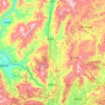
Name: 西翥街道 topographic map, elevation, terrain.
Location: 西翥街道, 五华区, 昆明市, 云南省, 中国 (25.10021 102.55636 25.42334 102.73464)
Average elevation: 2,108 m
Minimum elevation: 1,632 m
Maximum elevation: 2,634 m
Other topographic maps
Click on a map to view its topography, its elevation and its terrain.