
盘龙区 topographic map
Interactive map
Click on the map to display elevation.
About this map
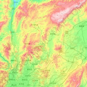
Name: 盘龙区 topographic map, elevation, terrain.
Location: 盘龙区, 昆明市, 云南省, 中国 (25.03038 102.69589 25.46294 103.03503)
Average elevation: 2,138 m
Minimum elevation: 1,650 m
Maximum elevation: 2,806 m
Other topographic maps
Click on a map to view its topography, its elevation and its terrain.