
红土地镇 topographic map
Interactive map
Click on the map to display elevation.
About this map
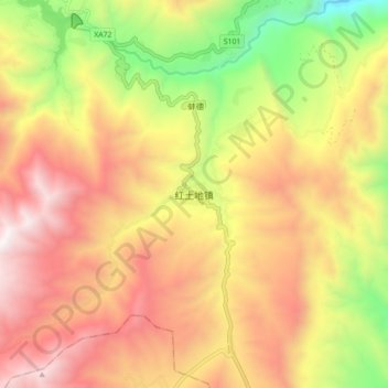
Name: 红土地镇 topographic map, elevation, terrain.
Location: 红土地镇, 昆明市, 云南省, 中国 (25.98810 102.97545 26.06810 103.05545)
Average elevation: 2,543 m
Minimum elevation: 1,620 m
Maximum elevation: 3,322 m
Other topographic maps
Click on a map to view its topography, its elevation and its terrain.