
昂乃村 topographic map
Interactive map
Click on the map to display elevation.
About this map
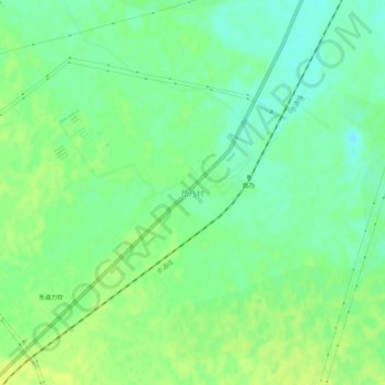
Name: 昂乃村 topographic map, elevation, terrain.
Location: 昂乃村, 通辽市, 内蒙古自治区, 中国 (42.96780 120.73200 43.00780 120.77200)
Average elevation: 348 m
Minimum elevation: 339 m
Maximum elevation: 356 m
Other topographic maps
Click on a map to view its topography, its elevation and its terrain.