
香山镇 topographic map
Interactive map
Click on the map to display elevation.
About this map
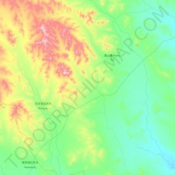
Name: 香山镇 topographic map, elevation, terrain.
Location: 香山镇, 扎鲁特旗, 通辽市, 内蒙古自治区, 中国 (44.25112 120.42840 44.59142 120.79680)
Average elevation: 441 m
Minimum elevation: 279 m
Maximum elevation: 858 m
Other topographic maps
Click on a map to view its topography, its elevation and its terrain.