
吉尔嘎朗镇 topographic map
Interactive map
Click on the map to display elevation.
About this map
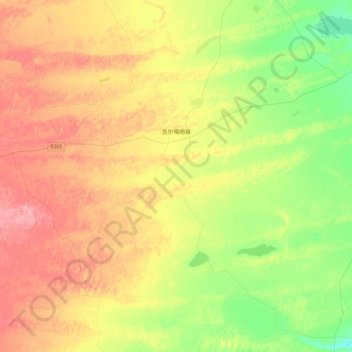
Name: 吉尔嘎朗镇 topographic map, elevation, terrain.
Location: 吉尔嘎朗镇, 科尔沁左翼后旗, 通辽市, 内蒙古自治区, 中国 (42.90149 122.63748 43.21310 123.09809)
Average elevation: 183 m
Minimum elevation: 137 m
Maximum elevation: 236 m