
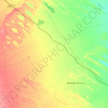
珠日河牧场 topographic map
Interactive map
Click on the map to display elevation.
About this map
Name: 珠日河牧场 topographic map, elevation, terrain.
Location: 珠日河牧场, 科尔沁左翼中旗, 通辽市, 内蒙古自治区, 中国 (43.99763 121.13846 44.37878 121.90012)
Average elevation: 206 m
Minimum elevation: 177 m
Maximum elevation: 248 m
Other topographic maps
Click on a map to view its topography, its elevation and its terrain.